Distance in book - 14.3km
Map my walk Distance - 15.62km
 |
| Dale End Road start/finish |
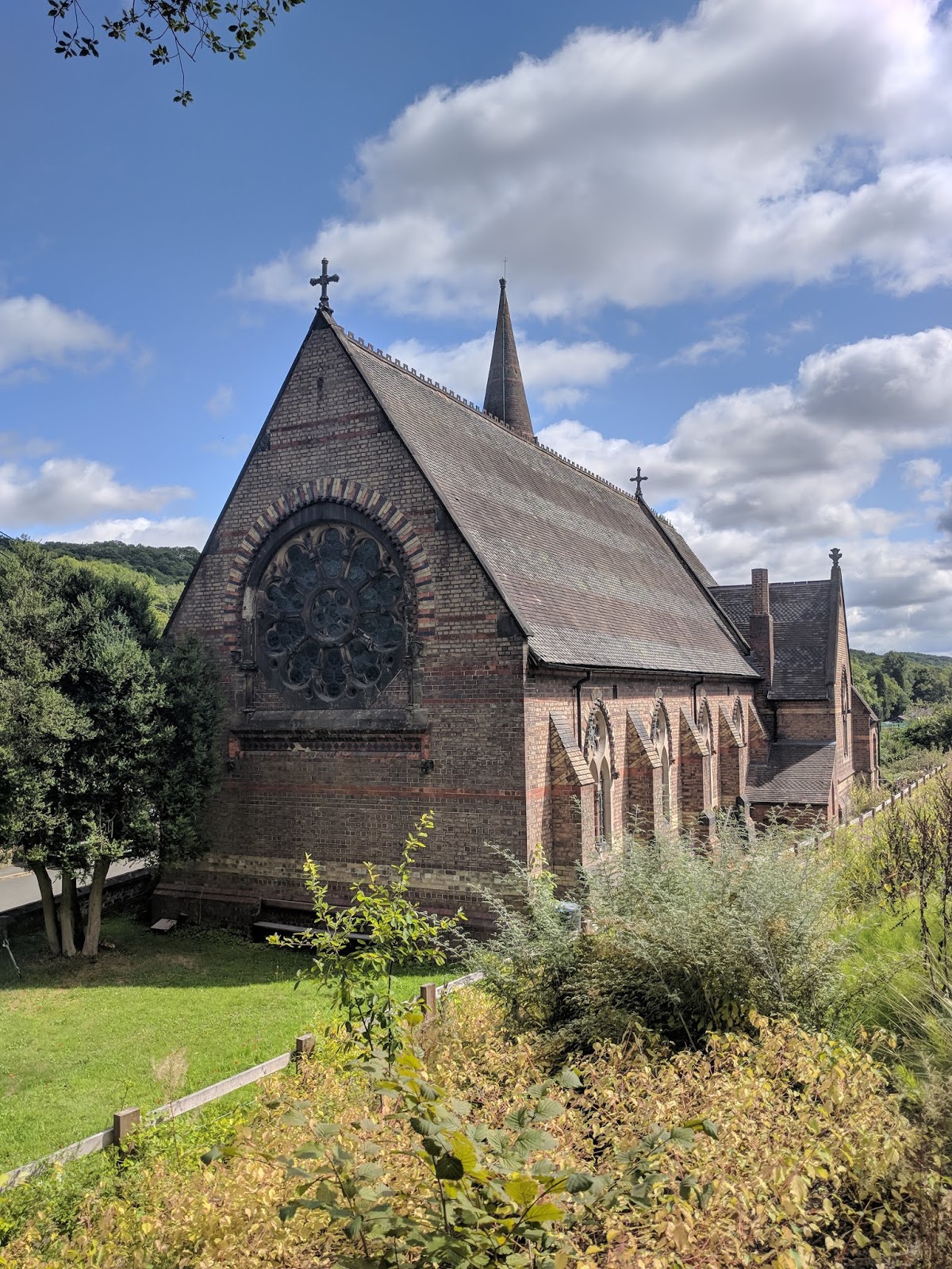
So now the sweltering 2018 summer has finally cooled down a bit, I decided to head to Ironbridge for a walk through the beautiful, historic town. The route was supposed to start on the longstay car park, but as it was quiet, it was easy to park on Dale End Road next to the primary school!
 |
| Ironbridge |
Overall, I've given this a 3 star but I think I was being a bit generous! The history around the town is great, the gorge is very picturesque but the walking up into South Telford is a bit... boring! The Route is very easy to follow as most of the paths follow alongside the river or main roads. All of the inclines are very steady and the paths are so good, I did the whole thing wearing trainers! The substantial distance was the only reason it didn't get a 1 star difficulty.
 |
| Looking back at Ironbridge across the River Severn. |
 |
| Ironbridge August 2018 |
This is my chance to be a real history nerd now, so feel free to skip this part if you're not interested!
Ironbridge is a world heritage site and it is really hard to believe whilst you're walking around the small, pretty town that by the end of the 18th century it was the most technologically advanced area in the world!
A key moment in the history of the industrial revolution came about in 1709, in the village of Coalbrookdale (also part of this walk) where Abraham Darby had pioneered a new method for smelting iron. His cheaper method involved producing pig iron in a blast furnace using coke as the fuel instead of charcoal.
The town was named after the world's first ever cast iron bridge, designed by Thomas Pritchard. It was built in 1779 with construction overseen by Abraham Darby III. The ambitious project used 378 tons of cast iron and cost £6,000 to build.
 |
| Ironbridge December 2016 |
As you can see from the picture, the iron bridge is currently undergoing some major surgery! The ironwork has had to endure the weather, ground movement and even an earthquake over the centuries. I have attached a picture I took from a visit to the gorge in December 2016 so you can see what it usually looks like!
All through this walk you see the evidence of the areas industrial past. You spend a large part of the walk strolling along disused railway lines with all original bridges and tunnels mostly in tact.
The Museum of the gorge, Jackfield Tile museum, Tar tunnel and Blists Hill Victorian Town are all accessible from this walk for those of you wanting to explore more of the fascinating history.
 |
| Jackfield Tile Museum |
 |
| Coalport Bridge |
 |
| Madeley Court |
So overall, I would say the first half of the walk is great, but if I'm honest, the rest isn't. I would recommend you walk from Ironbridge to Coalport and back instead of doing this full loop.
I can't however fault the museums and the delightful town of Ironbridge. If you are interested in the history, you can pick up an annual museum passport for a very reasonable price which allows you to visit all the museums. If history isn't your thing, visit the town, take in the views, eat good food and explore the shops!
Thanks for reading.
Stef.
 Walk 20 out of 100
 Overall this is up there with the best walks I've done so far, stunning hillwalking and miles of ridgetop walking surrounded by beautiful scenery. I've given the walk the maximum difficulty rating because the full walk is over 20km, the paths can be indistinct at times and some of the climbs are tough. I may have had a slight technology issue with tracking my walk... At some point I must have accidentally ended the walk on the app so I now have 2 logged walks with a big gap in the middle, face palm.
 So one of the reasons why the app may have stopped working is because I went off track and instead of going backwards, I decided to scramble up the steep hill before it turned into a full on cliff face! Not recommended... The picture left shows the steep hill in question once I'd finally reached the top. Try to stay on top of the ridgeline!

 Overall this is up there with the best walks I've done so far, stunning hillwalking and miles of ridgetop walking surrounded by beautiful scenery. I've given the walk the maximum difficulty rating because the full walk is over 20km, the paths can be indistinct at times and some of the climbs are tough. I may have had a slight technology issue with tracking my walk... At some point I must have accidentally ended the walk on the app so I now have 2 logged walks with a big gap in the middle, face palm.


