Thursday 21 July 2016

Walk #90 Beddgelert, Gwynedd

Walk 15 out of 100
Walk #80 - Beddgelert 
Gwynedd

Overall Rating - 


Suggested Difficulty - Moderate
My Difficulty Rating - 

Suggested Time - 3 hours
Actual Time Taken - 3h 22m

Distance in book - 9.2km
Map my walk Distance - 9.9km

Beddgelert car park, start/finish
Before going into the details of the walk I have news, I'm now a teacher Huzzah! What better way to meet your new work mates than to take a trip to Snowdonia, drink cider, eat food, white water raft and squeeze in a walk?! 
I have given the walk a 4 popcorn rating thanks to the great views and the variety in scenery/terrain. 

The route was pretty straight forward to follow as you stick to the river for two thirds of the walk and the other third is just straight up a valley. There were a few tricky parts with the slippery rocks at the start and the ascent through the valley but overall. it was pretty plain sailing. 


We were pretty lucky with the weather after a total wash out the rest of the weekend (WALES!) and I wouldn't fancy walking on the rocky riverside when it's chucking it down so worth taking note. 


We also got quite lucky to be crossing the track of the Welsh Highland Railway at the same time an old steam locomotive passed by.


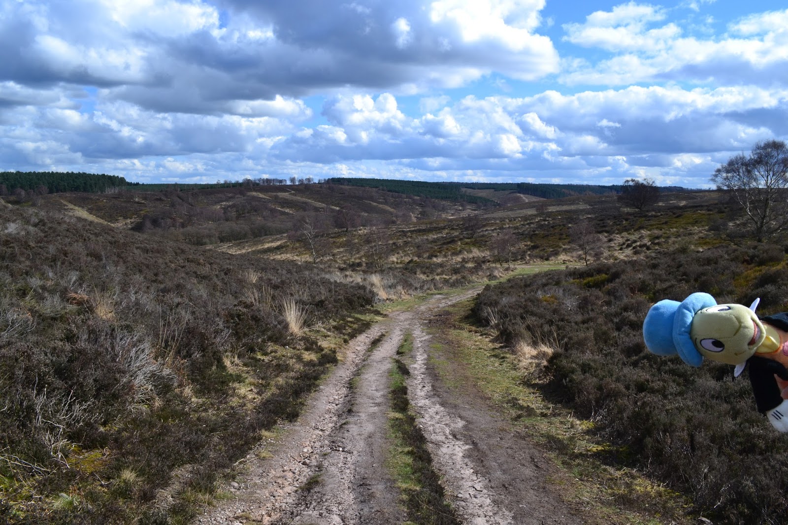
Once the first section of the walk is completed alongside the river, the path takes you up through a very picturesque valley with great views and a few remnants of the past as you pass old mine workings. 


When you reach the top of the valley there are great views across 'Llyn Dinas' before you begin a fairly steep descent towards the shore of the lake. I definitely wouldn't want to do this route in the opposite direction!


The last third of the walk is pretty straight forward, picking up the river and following good paths/roads before reaching the town of Beddgelert where you can pick up a well deserved ice-cream (we didn't, the shop was rammed...).
I'd recommend this walk for anybody who visits Snowdonia but doesn't fancy taking on any of it's mountains. It gives you plenty for your efforts without having to sweat your backside off.

Thanks to Ricky for the company and as always, Thanks for reading,

Stef.


And follow me on Twitter @stefanvilla1991


Sunday 24 April 2016

Walk #6 Stiperstones, Shropshire

Manstone Rock
Walk 14 out of 100
Walk #6 - Stiperstones
Shropshire 

Overall Rating - 


Suggested Difficulty - Moderate
My Difficulty Rating - 

Suggested Time - 3h 30m
Actual Time Taken - 2h 35m

Distance in book - 8.8km
Map my walk Distance - 8.52km

The Bog Centre, start/finish
For walk number 14 I made my way back to Shropshire to take on the Stiperstones, a distinctive ridge of rugged rocks which look a bit like the back of a Stegosaurus! The rocky summit was shaped during the last ice age as the quartzite was shattered by constant freezing and thawing.
A first for the walks, Llamas!


I've given this walk a 4 star rating, there are lots of beautiful views when walking along the ridge line, plenty of great rock formations to scramble around and a variety of terrain.


Nipstone Rock

The route was pretty straight forward to follow and the distance was pretty accurate in the book, but as it took nowhere near the 3 hours 30 minutes target time, it would have been nice if the walk lasted a bit longer. There was a steady climb involved, but nothing too strenuous.

Jiminy chilling on Nipstone Rock

As for the terrain, 'The Bog' lives up to its name so make sure you have proper boots. Once you get up to the Stiperstones ridge, the path becomes very rocky so it probably wasn't the best idea for me to do this walk whilst recovering from a sprained ankle! The latter part of the walk involves crossing farmland and walking along well kept paths.
Nipstone Rock, Manstone Rock and the Devil's Chair all provide some great photo opportunities along the ridge and are also great places to stop for lunch.
Apparently you can see the Devil on his chair during dark stormy nights, instead he just decided to dump a huge hail storm on top of us, another first for the walks!


HAIL!


I would definitely recommend this walk as the views are beautiful along the Stiperstones and it isn't too difficult a climb up there. Take your time to enjoy the views and explore the rocks as the route allows for plenty of time.

Best thing about walking this time of year, cute lambs!


Thanks to Neil for the company and as always, Thanks for reading,

Stef.


And follow me on Twitter @stefanvilla1991


Saturday 23 April 2016

Walk #13 Cannock Chase, Staffordshire

Walk 13 out of 100
Walk #13 - Cannock Chase
Staffordshire 

Overall Rating - 


Suggested Difficulty - Easy
My Difficulty Rating - 


Whitehouse car park (free!), start/finish

Suggested Time - 3h 30m
Actual Time Taken - 2h 40m

Distance in book - 10.5km
Map my walk Distance - 11.28km

I've only just realised I picked walked #13 for my 13th walk, good job I'm not superstitious or anything! Anyway...
Known as the last wilderness in the English Midlands, Cannock Chase is pretty close to Birmingham for those Midlanders who don't want to travel too far.
This walk has been given a 3 star as it is quite a pleasant, simple walk through the valleys and forests of the Chase. The lack of climbs and views are what have prevented this walk getting the top marks in my book, but if you're looking for an easy walk for all the family then this ticks all the boxes.

The route is probably the easiest I've had to follow so far as all the paths are very clear and well maintained. There are plenty of cyclists and horse riders about here too, so if you like your walks without being run over, keep an eye out!
After following the stream through the valley there is a pleasant picnic area before entering the forest up a hill to the only big view point of the walk. The end of the walk explores more forest before returning to the car park.
I would recommend this walk to any walker, particularly for a family who just want to get out and about, but it's probably not one for the more adventurous ramblers.
Thanks to Emily for joining me.
Thanks for reading,  

Stef.


And follow me on Twitter @stefanvilla1991

Tuesday 16 February 2016

Walk #3 Caer Caradoc, Shropshire

Caer Caradoc
Walk 12 out of 100
Walk #3 - Caer Caradoc
Shropshire 

Overall Rating - 


Suggested Difficulty - Moderate
My Difficulty Rating - 

Suggested Time - 3h 30m
Actual Time Taken - 4h 15m

Distance in book - 12.3km
Map my walk Distance - 17.56km
Church Stretton Station, start/finish
I'm back! It feels pretty good to have finally done a walk after 5 months of PGCE work, apparently teachers don't work 9-3 and spend the rest of the time drinking tea, who knew! 

So for my first outing in nearly 6 months I chose to head somewhere relatively close to home, Shropshire. 


I've given this one a 4 star, the weather being A-mazing certainly helped. Plenty of nice views, a few small climbs and a good variety of scenery. My main complaint would be that the timing and distance in the book were quite inaccurate so I nearly ended up missing my Nan's 80th party, oops!


Jiminy in front of Caer Caradoc
It was quite easy to park up at Church Stretton station for free. I would recommend exploring the little historic town after/before the walk if you get chance. 
This route was fairly easy to follow except for a section up through the batch valleys where the path became a little harder to distinguish and I just ended up following the stream all the way to the top. The rest of the walk is a mixture of roads, stone paths, fields and access land.  


Cader Idris on the horizon covered in snow

Jiminy on top of Caer Caradoc


After climbing Caer Caradoc and walking through All Stretton, the second half of the walk consists of walks through picturesque valleys. The streams and waterfalls in this remote area were a treat. As you can see here, the cold weather had made some grassy ice lollies! 


Carding Mill Valley
I would highly recommend this walk as the views are great and it has quite a bit of variety; starting in the town, climbing up mountains and then exploring beautiful valleys. Just make sure you give yourself enough time to complete the walk (unlike me!) or just do one of the shorter walks in Carding Mill Valley.

Thanks for reading,  

Stef.


And follow me on Twitter @stefanvilla1991